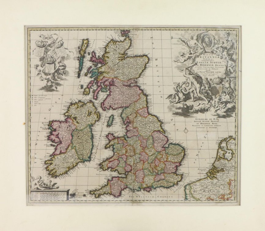
#3051 • Map of England, Scotland & Ireland-Late 17th Century
Part of Fine Art, Decor, Furniture and Rugs | Fine and Decorative Arts Day 1 | December 7, 2023 at 10:00 AM (live auction by Alderfer Auction)
High bid $175.00
Status: Sold
Map titled "Magnae Britaniae Tabula; Comprehendens Angliae, Scotiae, Ac Hiberniae Regna" by Nicolaes Visscher, circa 1694. Framed sheet measures 18.25" x 22" (sight) and is housed in mat measuring 24.75" x 28.5". Map exhibits hand coloring, a vertical fold at center and some light toning. Ex. Philadelphia Print Shop