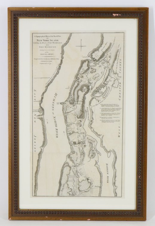
#1167 • Map of Revolutionary War New York
Part of Collectors | Day 1 | January 28, 2026 at 10:00 AM (live auction by Alderfer Auction)
High bid $175.00
Status: SOLD
Map titled "A Topographical Map of the North Part of New York island, Exhibiting the Plan of Fort Washington, now Fort Knyphausen, with the Rebels Lines to the Southward, which were Forced by the Troops under the Command of the Rt Honorable Earl Percy on the 16th Novr 1776..."engraved for Stedman's History of the American War, published April 12, 1793. Framed map measures 18.25" x 10" (sight) and is housed in frame measuring 23.25" x 15.25". Map exhibits folds and some offsetting and toning. Provenance: Philadelphia Print Shop.