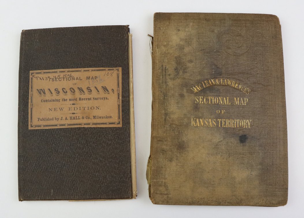
#1183 • Nineteenth Century Pocket/Travel Maps of Kansas and Wisconsin
Part of Collectors | Day 1 | January 28, 2026 at 10:00 AM (live auction by Alderfer Auction)
High bid $700.00
Status: SOLD
Pair of pocket/travel (folding) maps from the 19th century including; 1.) Map titled "MacLean & Lawrences Sectional Map Of Kansas Territory" compiled by C.P. Wiggin in April 1857 published by William Schuchman & Brother in Pittsburgh, Pennsylvania. Map measures 42" x 41.5" and exhibits some fold splits, toning, light staining with cover and spine exhibiting damage. 2.) Map titled "Chapman's Sectional Map of Wisconsin" published by J. A. Hall & Co., Milwaukee 1856. Map measures 23.75" x 32" and exhibits some fold splits and some minor tears.