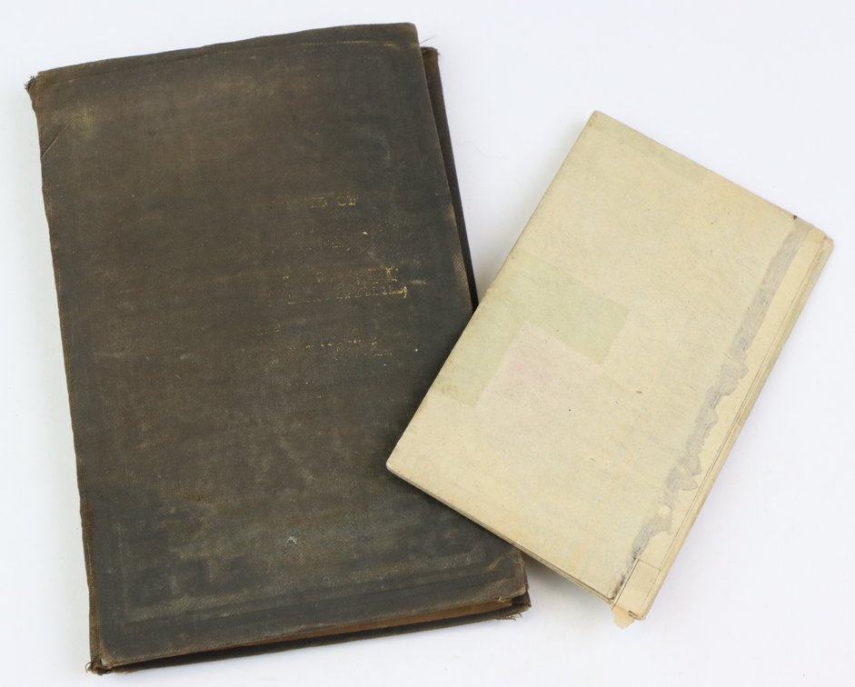
#1184 • Nineteenth Century Pocket/Travel Maps of Middle Atlantic Region and Illinois
Part of Collectors | Day 1 | January 28, 2026 at 10:00 AM (live auction by Alderfer Auction)
High bid $200.00
Status: SOLD
Pair of pocket/travel (folding) maps from the 19th century including; 1.) Map titled "Colton's New Topographical Map of the States of Virginia, West Virginia, Maryland & Delaware" published by G.W. & C.B. Colton, New York, 1896. Map measures 31" x 45.5" and exhibits some fold splits and wear to covers. 2.) Map titled "Tourists Pocket Map of the State of Illinois" published by Mitchell, Philadelphia 1836. Map measures 15.75" x 13" and exhibits some fold splits, slight loss at upper border and lacks covers.