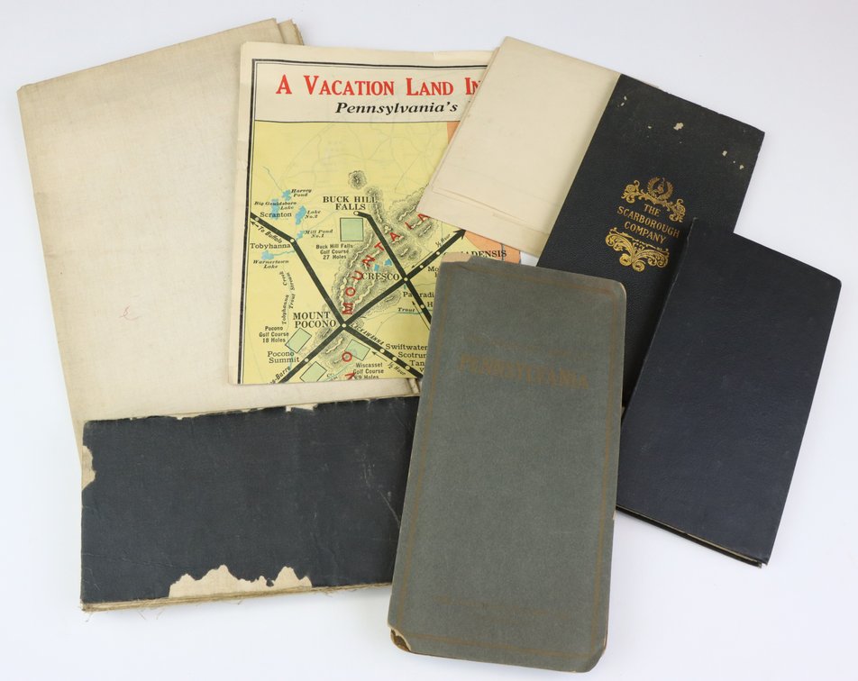
#1185 • Collection of Pennsylvania Maps
Part of Collectors | Day 1 | January 28, 2026 at 10:00 AM (live auction by Alderfer Auction)
High bid $150.00
Status: SOLD
Collection of 7 (mostly early 20th century) maps of Pennsylvania including; 1.) Map titled "A Vacation Land in the Pocono Mountains, Pennsylvania's Picturesque Playground" measuring 16" x 22". Map dates to early 20th century and exhibits folds, small edge chips and some pencil notations. 2.) Map titled "Pennsylvania Telephone Co., Map of the Territory Worked by it May 1885" measuring 20" x 28". Map exhibits some fold splits and light foxing. 3.) Map titled "Road Map of Pennsylvania" published by the State Highway Department, Showing State Highways As Adopted by the Sproul Road Bill Approved May 31, 1911. Map presents additional legend for proposed work planned for 1919 thru 1922. Map is linen backed and measures 34" x 56". 4.) Map titled "Map of Philadelphia, Camden and Vicinity" published by Elvino V. Smith. Map is linen backed, sectioned and measures 54" x 45". Map dates to early 20th century. 5.) Map titled "The Official Map of Pennsylvania" published by the National Survey Co., L.V. Crocker, Surveyor. Map measures 35" x 47". Map dates to early 20th century and exhibits some fold spits. 6.) Pennsylvania map from the National Series of Commercial Maps with details of the 1910 census published by the National Map Company. Map measures 43" x 62", exhibits some fold splitting and dates to early 20th century. 7.) Map titled "Scarborough's Standard Map of Pennsylvania" published by the Scarborough Company, 1908. Map measures 35" x 50" and exhibits some fold splitting.