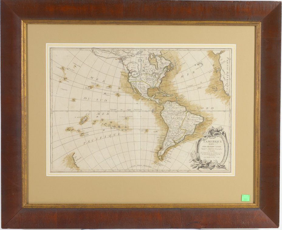
#6196 • Eighteenth Century Map of the Americas
Part of Fine Arts and Mid-Century Modern Design | June 11, 2026 at 10:00 AM (live auction by Alderfer Auction)
Starting at $200.00
Status: NO SALE
Map titled "L'Amerique Divisee par Grands Etats" by Jean Janvier (1745-1775) French cartographer and published by Jean Lattre, Paris 1762. Framed map is hand-colored and measures 12.5" x 18" and is housed in a frame measuring 22.5" x 27.5". Map is archivally framed. Center portion of map presents North and South America with upper right portion of map showing small section of the west coast of Africa and lower right showing cartouche with map information. Left section of map shows numerous Pacific islands and at lower left a slight section of the coast of New Zealand. Of interest is the division of North America between the British, French and Spanish governments and the large body of water in the Pacific northwest called the "Mer ou Baye de l'Ouest" or "Western Sea or Bay" as well as California being a long peninsula. Map exhibits some toning and evidence of a vertical fold.